
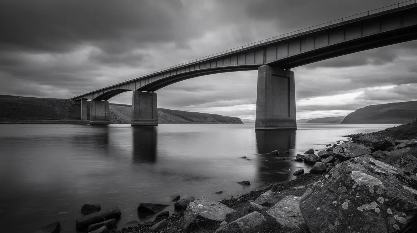
Avoiding an unnecessary road-bridge closure
Combining in-situ and satellite data—including five years of InSAR history—with environmental records helped engineers distinguish normal behaviour from areas of concern and avoid an unnecessary closure.
What changes are coming, what will the impact be and what should we do about them? We provide the answers to the most pressing issues, whatever the situation.
When to intervene on bridges, remotely monitor changes in surface and schedule intervention before an emergency closure but without redundant works.
Recommendation No intervention this year: the movement is consistent with normal behaviour. Keep in the 2028 programme.
Every structure on a road network has a window for intervention. Too late and you face an emergency closure, too early and the budget goes on assets that had years left. We combine in-situ and satellite data with historical records to understand how each structure has behaved, separating anomalies and areas of concern from normal behaviour. We can look at all aspects of movement, surface change and encroachment.
Separate anomalies and areas of concern from normal behaviour
Avoid unnecessary, disruptive closures
Correlate behaviour with temperature and load
A continuing evidence base for structural reviews
Combining in-situ and satellite data—including five years of InSAR history—with environmental records helped engineers distinguish normal behaviour from areas of concern and avoid an unnecessary closure.
Rank structures and earthworks along the whole route by how they are actually moving, so next year's programme starts where it is needed.
Recommendation Add to next year's strengthening programme. Inspect the abutments within 3 months.
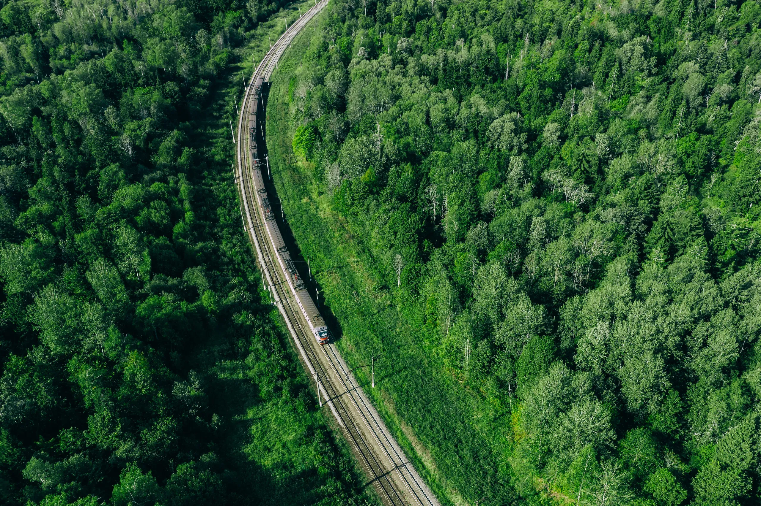
Rail assets are long, sometimes old and mostly unobserved between inspections. We measure settlement and creep along the route using in-situ and satellite data, show where movement is accelerating, and correlate it with rainfall and temperature. The strengthening programme is then ranked on evidence, not on the last walkover alone.
Route-wide measurement between inspections
Assets ranked by measured movement
Accelerating movement flagged early
Separate anomalies and areas of concern from normal behaviour
Find the lengths of main and the sites where the ground is moving, so replacement and inspection start where failure is most likely. Monitor the surface above mains, sewers and drains to predict change and failure.
Recommendation Move this length into next year's replacement programme.
Buried mains fail where the ground around them moves: shrink–swell clay, subsidence, nearby works. We measure ground movement along the network, add surface signs such as standing water, and combine them with sensor and weather data, so replacement goes where risk is highest. On critical sites we forecast conditions weeks or months ahead.
Fuse sensor, weather and survey data
Forecast flooding and movement risk
Fewer false alarms, fewer lost days
Remote monitoring across the network
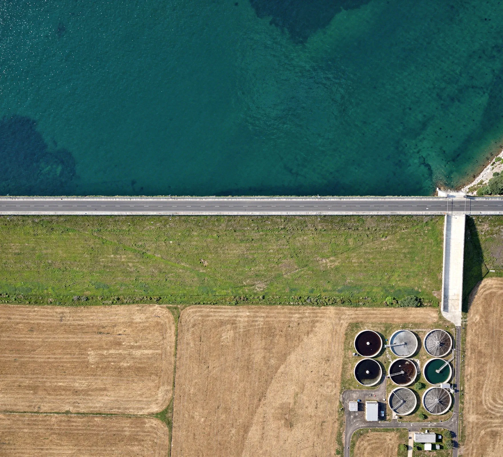
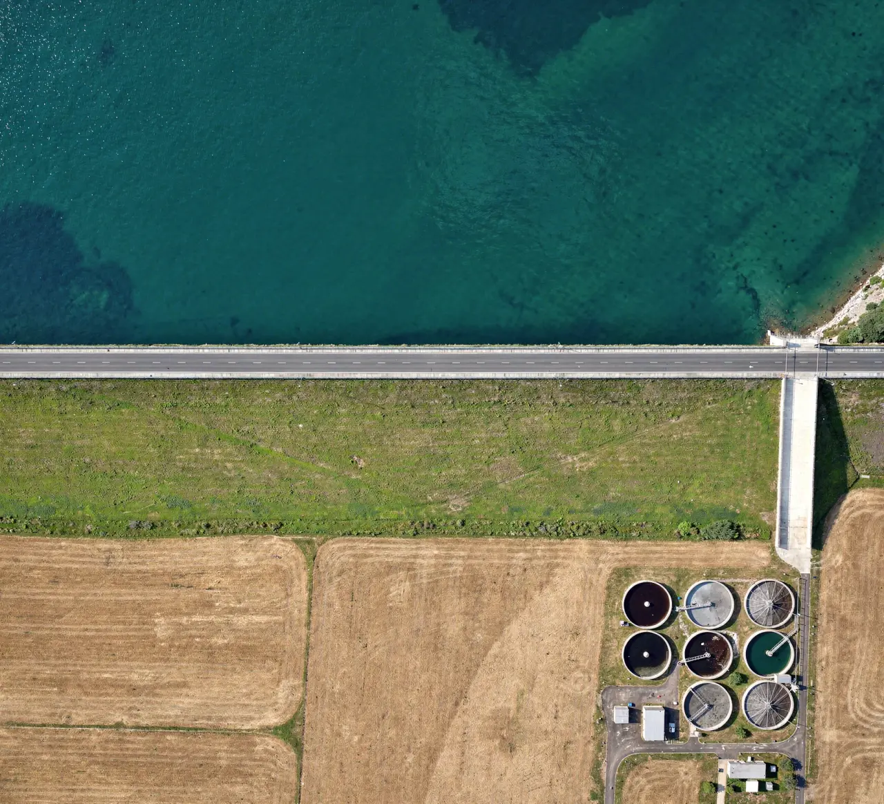
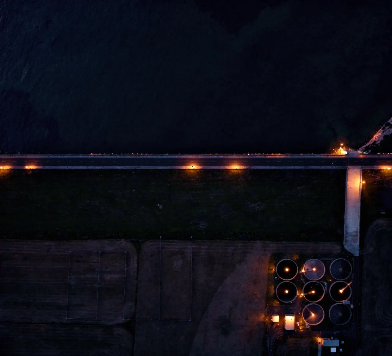
Sensor data from weirs and pumps fused with 10+ weather stations to forecast flooding days in advance, removing dangerous last-minute evacuations.
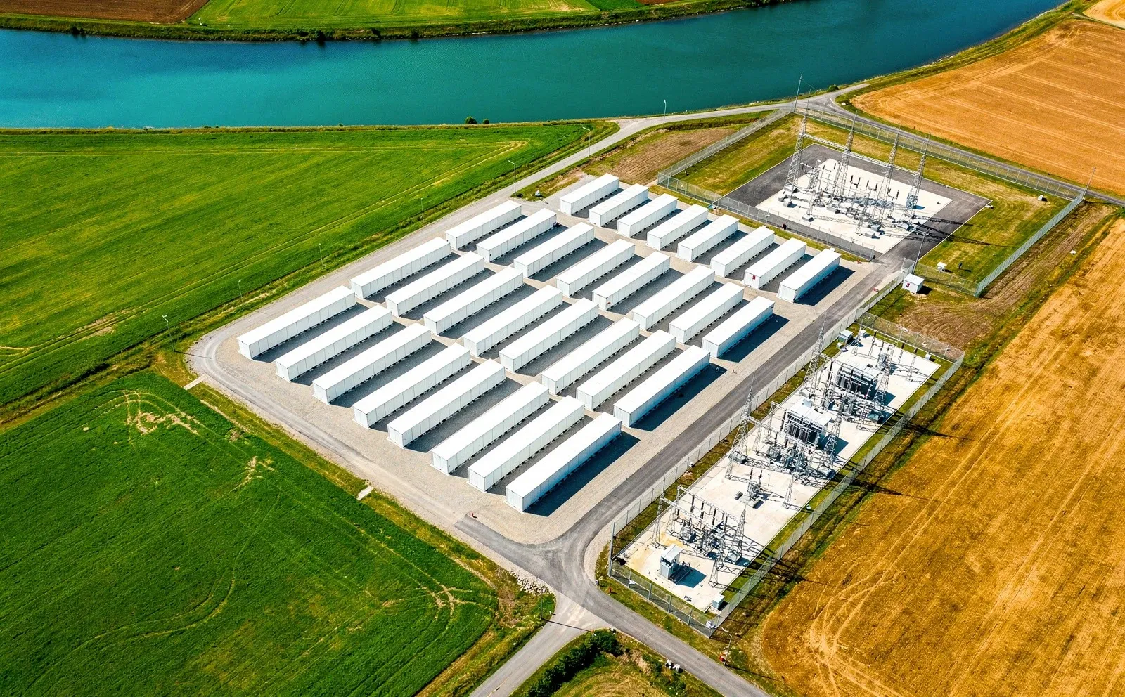
From transmission towers to battery compounds: measure the ground under the network and the growth around it, and plan the work before it becomes an outage.
Recommendation Inspect the foundation before November and re-level the plinth if confirmed.
Which towers to dig up, and which spans get the cutting crew before winter.
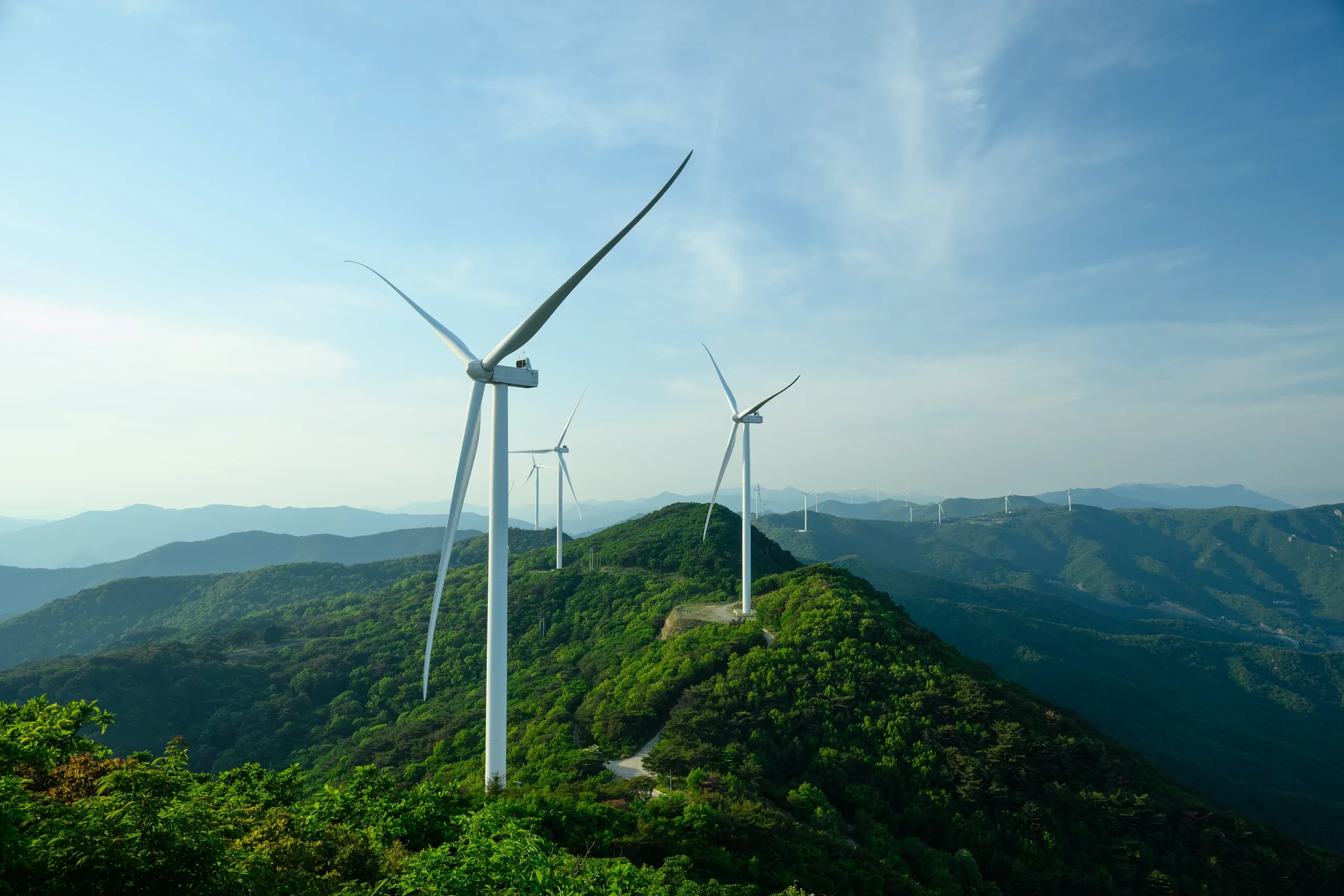
Tower foundations settle and tilt where the ground moves; spans fault where vegetation grows in. We measure movement at tower bases across the network and track growth along the corridors, so excavation and cutting crews go where they are needed first.
Plinth and compound settlement during and after construction, plus site heat exposure.
Battery and substation compounds sit on engineered platforms that keep settling after construction. We measure plinth and compound settlement from baseline through operation, and the heat exposure of each site.
Tower foundations ranked by measured movement
Vegetation growth tracked span by span
Compound settlement from baseline through operation
Heat exposure across storage sites
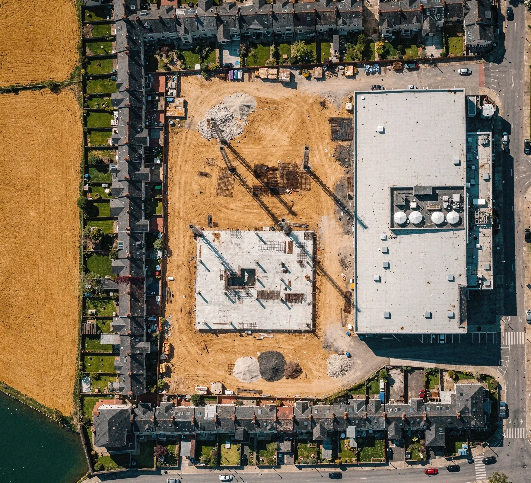
Know how the ground and the buildings next door behaved before you broke ground, watch them as you build, and hold the evidence when questions come.
Recommendation Continue works. Move monitoring to weekly while the basement is dug.
Protect what you build, and what you build next to. We establish a baseline of ground and structural movement using available in-situ and satellite data before work starts, then monitor through construction and handover with site sensors and survey data in the same place. When a crack appears next door, the record shows whose movement it is.
Baseline ground behaviour before breaking ground
Proactive alerts as you build
Protect adjacent and heritage structures
Defensible compliance evidence
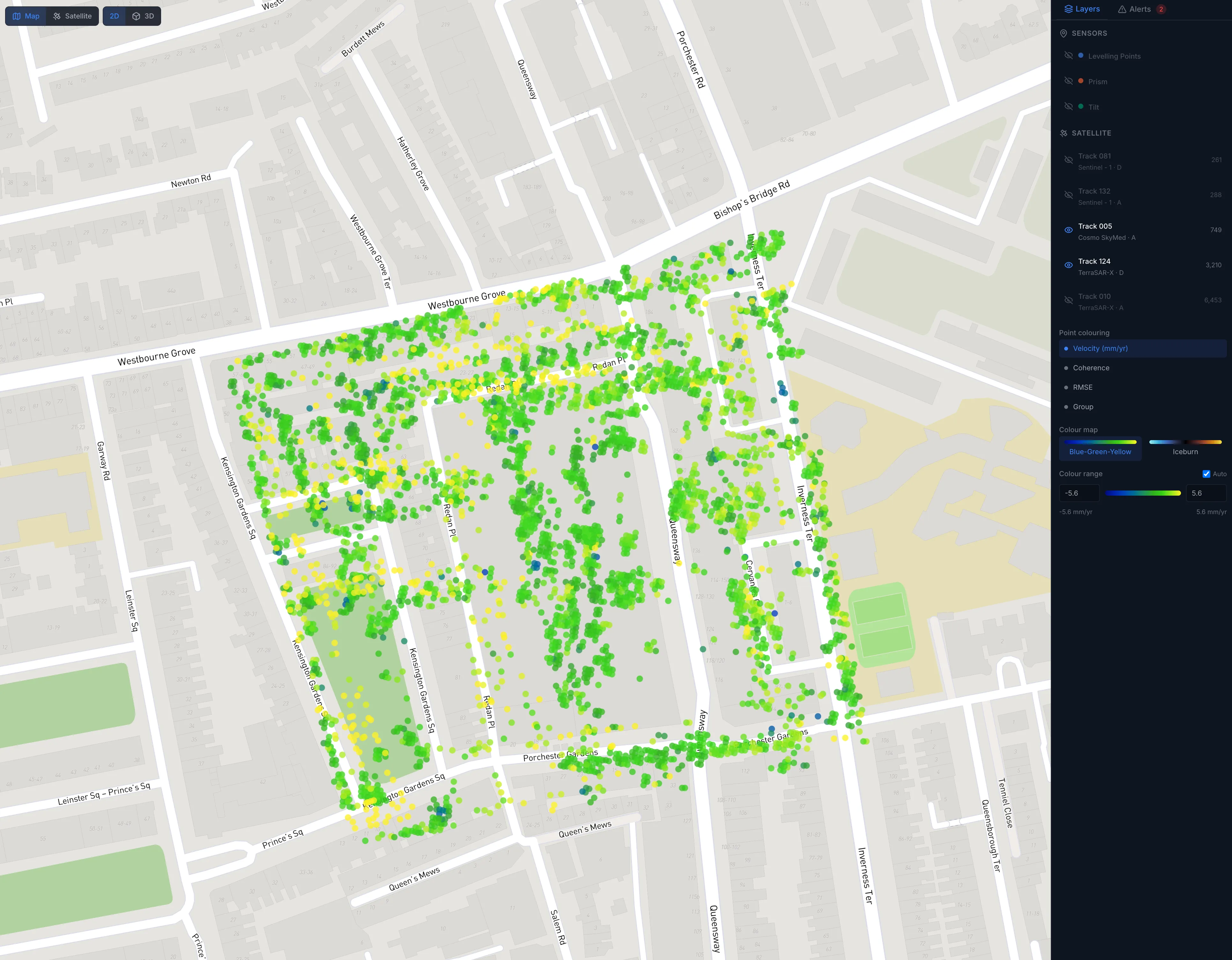
Hundreds of sensors visualised to detect the slightest movement on the 1911 Whiteleys building, long before it would otherwise be spotted.
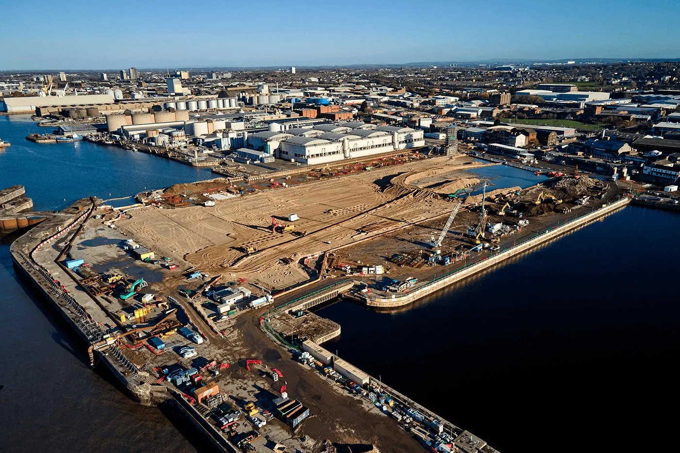
Every sensor, from every manufacturer, in one platform with configurable alerts, protecting Grade II listed dock structures while a new stadium was built on top of them.
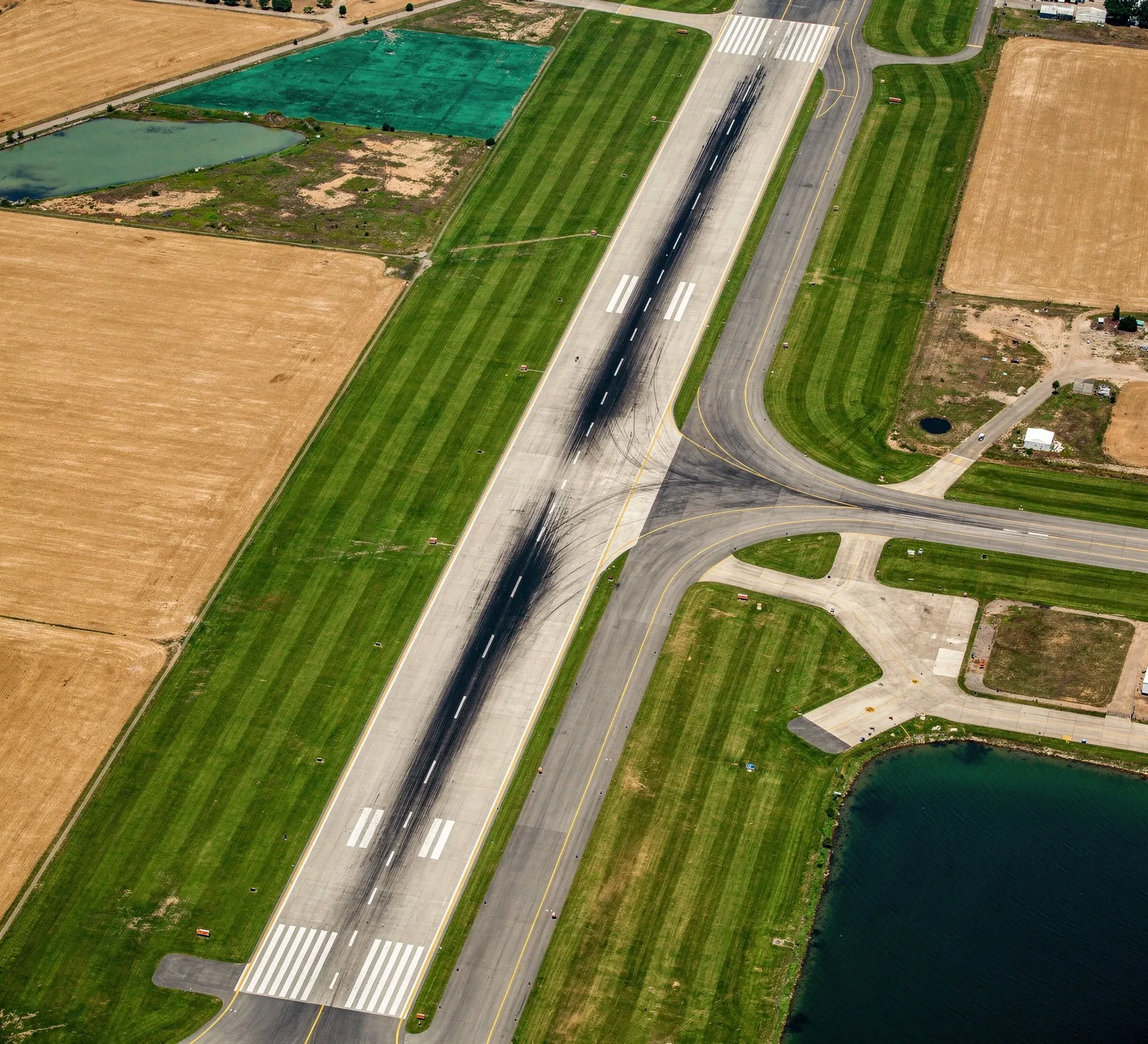
Runway condition across a whole network of airfields, from paved runways to remote strips, updated as data feeds are refreshed.
Recommendation Plan a mill-and-overlay for 2027; full reconstruction is not needed.
On paved runways, the question is when surface wear calls for mill-and-overlay and when damage has reached the base and needs reconstruction. On remote strips, it is simpler: is it safe to land today? High-resolution imagery shows cracking, potholes, standing water, erosion, vegetation along the edges and obstructions on the strip. Rainfall and soil moisture show when a strip that looks intact may no longer carry an aircraft's weight. Each pass is compared with the last known usable state, and significant change is flagged, including after heavy rain, flooding or storms.
Surface condition graded runway by runway
Usable, high-risk or not-usable status for remote strips
Alerts after heavy rain, flooding and storms
A network-wide view without sending an inspection team
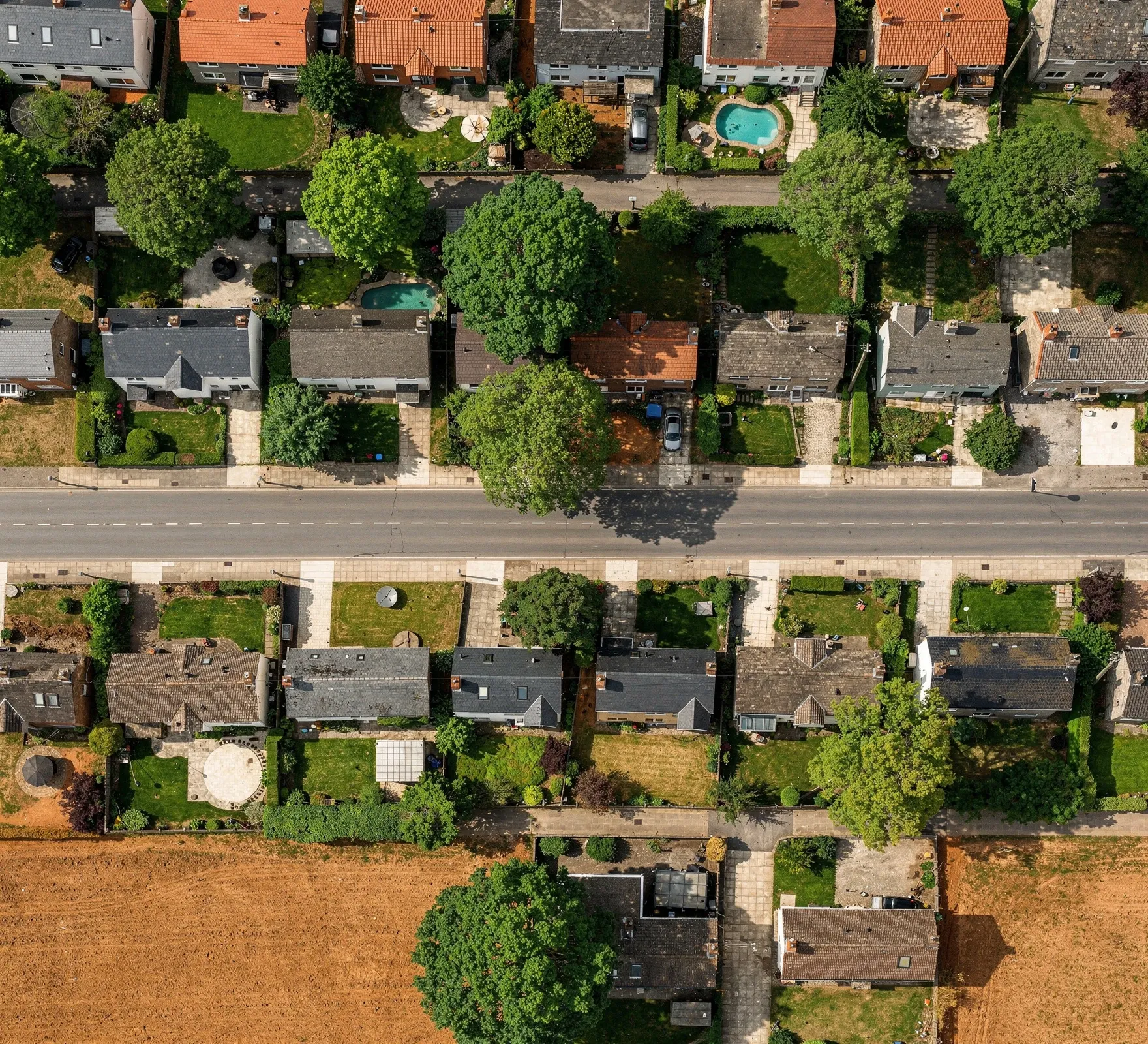
Price and manage subsidence and infrastructure risk on measured evidence, property by property and across the whole portfolio.
Recommendation Review cover terms and offer tree-management advice to the policyholder.
Subsidence claims cluster in dry years, on shrinkable clay, near trees. We create standardised risk value outputs for granular components of large geographies and provide the metrics you need to connect directly to your risk assessment models.
For infrastructure portfolios we provide continuous, independent monitoring of insured assets.
Portfolio-wide risk visibility
Independent, auditable evidence trail
Early warning on emerging exposure
Quantify risk reduction over time
In-situ and satellite data, with historical context across the network.
Separate anomalies and areas of concern from normal behaviour, with stated confidence.
A ranked list of where to look, spend or intervene next.
Honest about what we can measure, and clear about what we can't.
We started in research and still work that way. Every number comes with its uncertainty and its limits, so you can defend the decision it informs.
We complement inspection, instruments and surveys. We tell you where to point them.